File:15thcenturyhispaniola.JPG

Size of this preview: 800 × 521 pixels. Other resolutions: 320 × 208 pixels | 640 × 417 pixels | 848 × 552 pixels.
Original file (848 × 552 pixels, file size: 97 KB, MIME type: image/jpeg)
| This is a file from the Wikimedia Commons. Information from its description page there is shown below. Commons is a freely licensed media file repository. You can help. |
Summary
| Description |
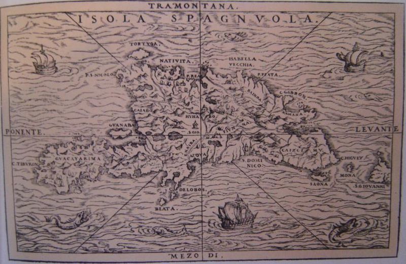
English: Old map of Hispaniola. |
||
| Source |
|
||
| Author |

Licensing
|
This work is in the public domain in its country of origin and other countries and areas where the copyright term is the author's life plus 70 years or fewer. | |
| This file has been identified as being free of known restrictions under copyright law, including all related and neighboring rights. | |
File history
Click on a date/time to view the file as it appeared at that time.
| Date/Time | Thumbnail | Dimensions | User | Comment | |
|---|---|---|---|---|---|
| current | 21:47, 26 November 2006 | | 848 × 552 (97 KB) | Electionworld | {[we|en|DO'Neil}} 15th{{fact}} century map of Hispaniola. {{PD-old}} Category:Maps of Haiti Category:Maps of the Dominican Republic |
File usage
The following page uses this file:
Global file usage
The following other wikis use this file:
- Usage on bs.wiki.x.io
- Usage on ca.wiki.x.io
- Usage on de.wiki.x.io
- Usage on en.wiki.x.io
- Usage on fr.wiki.x.io
- Usage on he.wiki.x.io
- Usage on hr.wiki.x.io
- Usage on hu.wiki.x.io
- Usage on it.wiki.x.io
- Usage on ja.wiki.x.io
- Usage on mk.wiki.x.io
- Usage on ro.wiki.x.io
- Usage on sh.wiki.x.io
- Usage on zh.wiki.x.io