File:East Riding of Yorkshire UK locator map 2010.svg

Size of this PNG preview of this SVG file: 494 × 600 pixels. Other resolutions: 198 × 240 pixels | 395 × 480 pixels | 633 × 768 pixels | 843 × 1,024 pixels | 1,687 × 2,048 pixels | 1,108 × 1,345 pixels.
Original file (SVG file, nominally 1,108 × 1,345 pixels, file size: 302 KB)
| This is a file from the Wikimedia Commons. Information from its description page there is shown below. Commons is a freely licensed media file repository. You can help. |
Summary
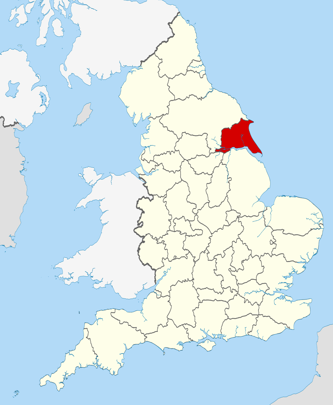
| Description | Location of the ceremonial county of the East Riding of Yorkshire within England. |
| Date | |
| Source |
National Geospatial-Intelligence Agency
|
| Author | Nilfanion |
Licensing
I, the copyright holder of this work, hereby publish it under the following licenses:
This file is licensed under the Creative Commons Attribution-Share Alike 3.0 Unported license.
- You are free:
- to share – to copy, distribute and transmit the work
- to remix – to adapt the work
- Under the following conditions:
- attribution – You must give appropriate credit, provide a link to the license, and indicate if changes were made. You may do so in any reasonable manner, but not in any way that suggests the licensor endorses you or your use.
- share alike – If you remix, transform, or build upon the material, you must distribute your contributions under the same or compatible license as the original.

|
Permission is granted to copy, distribute and/or modify this document under the terms of the GNU Free Documentation License, Version 1.2 or any later version published by the Free Software Foundation; with no Invariant Sections, no Front-Cover Texts, and no Back-Cover Texts. A copy of the license is included in the section entitled GNU Free Documentation License. |
You may select the license of your choice.

|
This is one of the images forming part of the Valued image set: Locator maps of the Ceremonial counties of England on Wikimedia Commons. The image set has been assessed under the valued image set criteria and is considered the most valued set on Commons within the scope:
Locator maps of the Ceremonial counties of England
You can see its nomination at Commons:Valued image candidates/Locator maps of English ceremonial counties. |
File history
Click on a date/time to view the file as it appeared at that time.
| Date/Time | Thumbnail | Dimensions | User | Comment | |
|---|---|---|---|---|---|
| current | 22:35, 23 November 2010 | | 1,108 × 1,345 (302 KB) | Nilfanion | == Summary == {{Information |Description=Location of the ceremonial county of the East Riding of Yorkshire within England. |Source=Ordnance Survey [https://www.ordnancesurvey.co.uk/opendatadownload/prod |
File usage
The following page uses this file:
Global file usage
The following other wikis use this file:
- Usage on af.wiki.x.io
- Usage on ar.wiki.x.io
- Usage on ast.wiki.x.io
- Usage on be-tarask.wiki.x.io
- Usage on bg.wiki.x.io
- Usage on bn.wiki.x.io
- Usage on ca.wiki.x.io
- Usage on ceb.wiki.x.io
- Usage on cs.wiki.x.io
- Usage on dag.wiki.x.io
- Usage on da.wiki.x.io
- Usage on en.wiki.x.io
- East Riding of Yorkshire
- East Yorkshire (district)
- Boothferry
- Holderness (borough)
- East Yorkshire Borough of Beverley
- Howdenshire
- Millington, East Riding of Yorkshire
- Bishop Wilton Wold
- Arram
- Skelton, East Riding of Yorkshire
- Bilton, East Riding of Yorkshire
- Middleton on the Wolds
- Rawcliffe, East Riding of Yorkshire
- Rawcliffe Bridge
- Youlthorpe
- Tickton
- North Humberside
- Beeford
- Beswick, East Riding of Yorkshire
- Bewholme
- Boynton, East Riding of Yorkshire
- Broomfleet
- Template:EastRiding-geo-stub
- Boothferry (district)
- Sigglesthorne
- Burnby Hall Gardens
- Emmotland
- Fisholme
- Gembling
- Knedlington
- Faxfleet
- Skirpenbeck
- Holme on the Wolds
- Ravenser Odd
- Willitoft
- Ravenspurn
- Wyton, East Riding of Yorkshire
- Painsthorpe
View more global usage of this file.