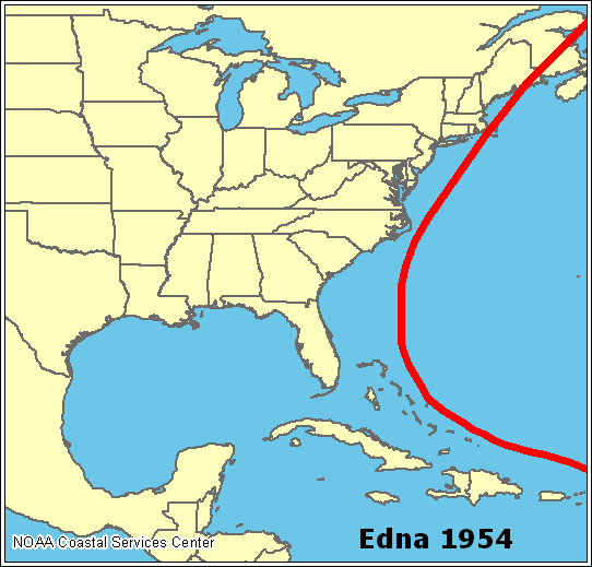
File:Edna 1954 map.png
Edna_1954_map.png (542 × 519 pixels, file size: 10 KB, MIME type: image/png)
File history
Click on a date/time to view the file as it appeared at that time.
| Date/Time | Thumbnail | Dimensions | User | Comment | |
|---|---|---|---|---|---|
| current | 20:14, 16 July 2005 |  | 542 × 519 (10 KB) | Jdorje~commonswiki | ==Summary== Path of Hurricane Edna in 1954. ==Copyright status== Taken from [http://www.nhc.noaa.gov/HAW2/english/history.shtml]. {{PD-USGov-NOAA}} |
File usage
The following page uses this file:

