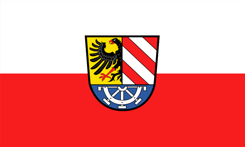
File:Flagge Nürnberger Land.svg

Size of this PNG preview of this SVG file: 800 × 480 pixels. Other resolutions: 320 × 192 pixels | 1,024 × 614 pixels | 1,280 × 768 pixels | 2,560 × 1,536 pixels | 2,000 × 1,200 pixels.
Original file (SVG file, nominally 2,000 × 1,200 pixels, file size: 40 KB)
File history
Click on a date/time to view the file as it appeared at that time.
| Date/Time | Thumbnail | Dimensions | User | Comment | |
|---|---|---|---|---|---|
| current | 22:06, 15 November 2022 |  | 2,000 × 1,200 (40 KB) | Kerl am Cembalo | Farben angepasst. |
| 22:02, 15 November 2022 |  | 2,000 × 1,200 (40 KB) | Kerl am Cembalo | Dateigröße verringert. | |
| 19:50, 20 April 2021 |  | 2,000 × 1,200 (3.88 MB) | SpinnerLaserzthe2nd | Uploaded a work by Unknown from https://www.koenigsbanner.de/957400000-landkreisnrnbergerland/9822-lau-landkreis-nurnberger-land.html with UploadWizard |
File usage
The following page uses this file:
Global file usage
The following other wikis use this file:
- Usage on ar.wiki.x.io
- Usage on cs.wiki.x.io
- Usage on en.wiki.x.io
- Usage on es.wiki.x.io
- Usage on hu.wiki.x.io
- Usage on hy.wiki.x.io
- Usage on id.wiki.x.io
- Usage on it.wiki.x.io
- Usage on ku.wiki.x.io
- Usage on lld.wiki.x.io
- Usage on nl.wiki.x.io
- Usage on pl.wiki.x.io
- Usage on ro.wiki.x.io
- Nürnberger Land
- Hersbruck
- Altdorf bei Nürnberg
- Lauf an der Pegnitz
- Röthenbach an der Pegnitz
- Happurg
- Henfenfeld
- Dolomitkuppenalb
- Feuchtgebiete im Pegnitztal bei Reichenschwand
- Höhlen der nördlichen Frankenalb
- Mausohrwochenstuben in der mittleren Frankenalb
- Traufhänge der Hersbrucker Alb
- Wälder im Oberpfälzer Jura
- Wellucker Wald nördlich Königstein
- Bachtäler der Hersbrucker Alb
- Ruine Rothenberg bei Schnaittach
- NSG 'Schwarzach-Durchbruch' und Rhätschluchten bei Burgthann
- Östlicher Vogelherd im Veldensteiner Forst
- Pegnitz zwischen Michelfeld und Hersbruck
- Usage on ru.wiki.x.io
- Usage on tr.wiki.x.io
- Usage on www.wikidata.org
