File:N9 state locator.PNG
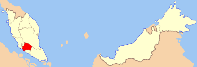
Size of this preview: 800 × 273 pixels. Other resolutions: 320 × 109 pixels | 640 × 219 pixels | 1,024 × 350 pixels | 1,280 × 437 pixels | 3,000 × 1,025 pixels.
Original file (3,000 × 1,025 pixels, file size: 118 KB, MIME type: image/png)
| This is a file from the Wikimedia Commons. Information from its description page there is shown below. Commons is a freely licensed media file repository. You can help. |
| I, the copyright holder of this work, release this work into the public domain. This applies worldwide. In some countries this may not be legally possible; if so: I grant anyone the right to use this work for any purpose, without any conditions, unless such conditions are required by law. |
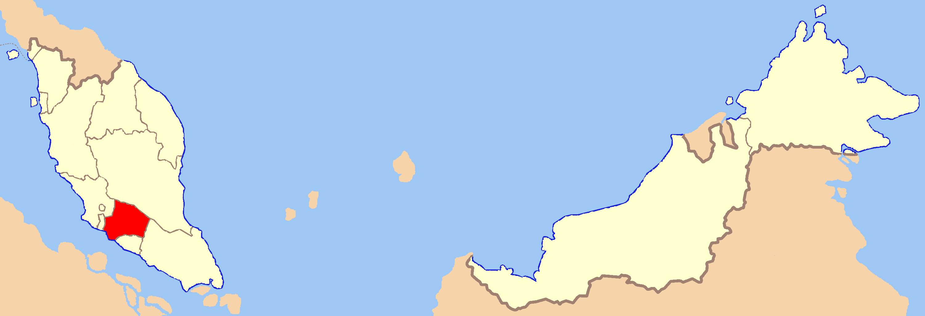
Modified from Image:Malaysia states blank (color scheme).png to indicate location of Negeri Sembilan.
.png)
File history
Click on a date/time to view the file as it appeared at that time.
| Date/Time | Thumbnail | Dimensions | User | Comment | |
|---|---|---|---|---|---|
| current | 05:44, 21 August 2007 | 3,000 × 1,025 (118 KB) | Kawaputra | {{Information |Description=Map of Malaysia with Negeri Sembilan highlighted |Source=self-made |Date=21 August 2007 |Author= Kawaputra }} Category:Maps of Malaysia | |
| 21:49, 4 August 2007 | 3,000 × 1,025 (127 KB) | Kawaputra | Modified from Image:Malaysia states blank (color scheme).png to indicate location of Negeri Sembilan. Category:Maps of Malaysia |
.png)
File usage
The following page uses this file:
Global file usage
The following other wikis use this file:
- Usage on de.wiki.x.io
- Usage on en.wiki.x.io
- Usage on eo.wiki.x.io
- Usage on fi.wiki.x.io
- Usage on id.wiki.x.io
- Usage on ik.wiki.x.io
- Usage on ko.wiki.x.io
- Usage on min.wiki.x.io
- Usage on mk.wiki.x.io
- Usage on mr.wiki.x.io
- Usage on ms.wiki.x.io
- Usage on nl.wiki.x.io
- Usage on pl.wiki.x.io
- Usage on pl.wikivoyage.org
- Usage on pnb.wiki.x.io
- Usage on ro.wiki.x.io
- Usage on ru.wiki.x.io
- Usage on sv.wiki.x.io
- Usage on ta.wiki.x.io
- Usage on uk.wiki.x.io
- Usage on ur.wiki.x.io
- Usage on war.wiki.x.io