
Size of this preview: 413 × 600 pixels. Other resolutions: 165 × 240 pixels | 330 × 480 pixels | 1,003 × 1,457 pixels.
Original file (1,003 × 1,457 pixels, file size: 43 KB, MIME type: image/png)
| This is a file from the Wikimedia Commons. Information from its description page there is shown below. Commons is a freely licensed media file repository. You can help. |
Summary
Transwiki approved by: w:en:User:Multichill
| Description |
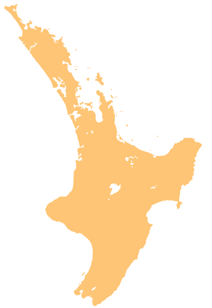
English: template map of New Zealand's North Island |
| Date | 3 June 2007 (original upload date) |
| Source | Transferred from en.wikipedia to Commons. |
| Author | Original uploader was Grutness at en.wikipedia |
Licensing
| I, the copyright holder of this work, release this work into the public domain. This applies worldwide. In some countries this may not be legally possible; if so: I grant anyone the right to use this work for any purpose, without any conditions, unless such conditions are required by law. |
Original upload log
| date/time | username | resolution | size | edit summary |
|---|---|---|---|---|
| 01:52, 3 June 2007 | w:en:User:Grutness | 1,003×1,457 | 43 KB | Cleaned up |
Image description page history
| link | date/time | username | edit summary |
|---|---|---|---|
| [1] | 13:40, 14 March 2008 | w:en:User:Multichill | |
| [2] | 01:30, 3 June 2007 | w:en:User:Grutness | |
| [3] | 01:26, 3 June 2007 | w:en:User:Grutness | (template map of New Zealand's North Island {{pd}}) |
![[1]](https://en.wiki.x.io/w/index.php?title=Image:NZ-NI_plain_map.png&redirect=no&oldid=198188105)
![[2]](https://en.wiki.x.io/w/index.php?title=Image:NZ-NI_plain_map.png&redirect=no&oldid=135448783)
![[3]](https://en.wiki.x.io/w/index.php?title=Image:NZ-NI_plain_map.png&redirect=no&oldid=135448204)
File history
Click on a date/time to view the file as it appeared at that time.
| Date/Time | Thumbnail | Dimensions | User | Comment | |
|---|---|---|---|---|---|
| current | 20:23, 18 March 2008 | | 1,003 × 1,457 (43 KB) | BetacommandBot | Transwiki approved by: w:en:User:Multichill {{Information |Description={{en|template map of New Zealand's North Island Category:Maps of New Zealand}} |Source=Transferred from [http://en.wiki.x.io en.wikipedia] |Date=2007-06-03 (first ve |
File usage
The following 6 pages use this file:
Global file usage
The following other wikis use this file:
- Usage on ar.wiki.x.io
- Usage on ban.wiki.x.io
- Usage on ba.wiki.x.io
- Usage on bcl.wiki.x.io
- Usage on bn.wiki.x.io
- Usage on ceb.wiki.x.io
- Usage on cs.wiki.x.io
- Usage on de.wikivoyage.org
- Usage on en.wiki.x.io
- Lake Taupō
- New Plymouth
- Taupō Volcanic Zone
- Mount Tarawera
- Rotorua Caldera
- Lake Tikitapu
- Putauaki
- Mayor Island / Tūhua
- Te Wairoa, New Zealand
- Lake Rotokākahi
- Lake Ōkareka
- Lake Ōkataina
- Lake Rerewhakaaitu
- Lake Tarawera
- Lake Rotorua
- Lake Rotoehu
- Lake Rotomā
- Whakatāne River
- Lake Waikaremoana
- Lake Waikareiti
- Aotea Harbour
- Lake Maraetai
- Lake Karapiro
- Lake Waikare
- Tūrangawaewae
- Pātea River
- Lake Rotoaira
- Lake Horowhenua
- Ōtaki River
- Porirua Harbour
- Mount Hikurangi (Gisborne District)
- Waikanae River
- Wellington Airport
- Hamilton Airport (New Zealand)
- Pukehou
- Waiau River (Hawke's Bay)
- Palmerston North Airport
- Taupō Airport
- Gisborne Airport
View more global usage of this file.