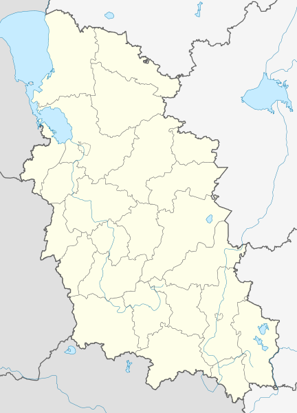
File:Outline Map of Pskov Oblast.svg

Size of this PNG preview of this SVG file: 432 × 599 pixels. Other resolutions: 173 × 240 pixels | 346 × 480 pixels | 554 × 768 pixels | 738 × 1,024 pixels | 1,477 × 2,048 pixels | 512 × 710 pixels.
Original file (SVG file, nominally 512 × 710 pixels, file size: 406 KB)
File history
Click on a date/time to view the file as it appeared at that time.
| Date/Time | Thumbnail | Dimensions | User | Comment | |
|---|---|---|---|---|---|
| current | 06:30, 5 September 2010 |  | 512 × 710 (406 KB) | Виктор В | == {{int:filedesc}} == {{Information |Description={{ru|1=Позиционная карта Псковской области *Проекция — равноугольная. *Стандартная параллель — 57°12′00″с.ш. *Парам� |
File usage
The following 3 pages use this file:
Global file usage
The following other wikis use this file:
- Usage on af.wiki.x.io
- Usage on ar.wiki.x.io
- Usage on azb.wiki.x.io
- Usage on az.wiki.x.io
- Usage on ba.wiki.x.io
- Usage on be.wiki.x.io
- Дно (горад)
- Вялікія Лукі
- Апочка
- Гдоў
- Невель (горад)
- Наваржэў
- Новасакольнікі
- Остраў
- Пячоры
- Порхаў
- Пустошка (горад)
- Себеж
- Пскоў
- Усвяты
- Шаблон:На карце/Расія Пскоўская вобласць
- Ізборск
- Пушкінскія Горы
- Палкіна (Палкінскі раён)
- Заплюссе
- Дзедавічы (Дзедавіцкі раён)
- Локня (Пскоўская вобласць)
- Кунесць
- Ідрыца
- Краснагародск
- Сасновы Бор (Себежскі раён)
- Плюса (рабочы пасёлак)
- Бяжаніцы
- Красны Луч (Пскоўская вобласць)
- Стругі Красныя
- Кунья (Пскоўская вобласць)
- Аксёнава (Невельскі раён)
- Кузняцоўка (Себежскі раён)
View more global usage of this file.


