File:Penang state locator.PNG

Size of this preview: 800 × 273 pixels. Other resolutions: 320 × 109 pixels | 640 × 219 pixels | 1,024 × 350 pixels | 1,280 × 437 pixels | 3,000 × 1,025 pixels.
Original file (3,000 × 1,025 pixels, file size: 118 KB, MIME type: image/png)
| This is a file from the Wikimedia Commons. Information from its description page there is shown below. Commons is a freely licensed media file repository. You can help. |

|
File:Penang state locator.svg is a vector version of this file. It should be used in place of this PNG file when not inferior.
File:Penang state locator.PNG → File:Penang state locator.svg
For more information, see Help:SVG. |
 |
Summary
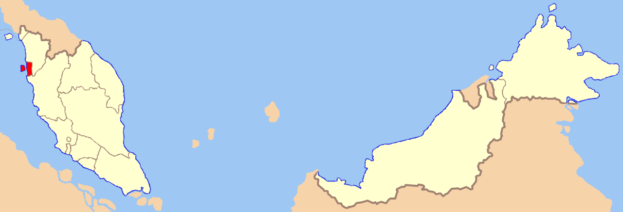
| Description | Map of Malaysia with Penang state highlighted |
| Date | |
| Source | Own work |
| Author | Kawaputra |
Licensing
| I, the copyright holder of this work, release this work into the public domain. This applies worldwide. In some countries this may not be legally possible; if so: I grant anyone the right to use this work for any purpose, without any conditions, unless such conditions are required by law. |
File history
Click on a date/time to view the file as it appeared at that time.
| Date/Time | Thumbnail | Dimensions | User | Comment | |
|---|---|---|---|---|---|
| current | 04:01, 19 November 2007 | 3,000 × 1,025 (118 KB) | Kawaputra | {{Information |Description=Map of Malaysia with Penang state highlighted |Source=self-made |Date=November 19, 2007 |Author= Kawaputra |Permission= |other_versions= }} Category:Maps of Malaysia |
File usage
The following page uses this file:
Global file usage
The following other wikis use this file:
- Usage on az.wiki.x.io
- Usage on de.wiki.x.io
- Usage on en.wiki.x.io
- Usage on eo.wiki.x.io
- Usage on fi.wiki.x.io
- Usage on ik.wiki.x.io
- Usage on ja.wiki.x.io
- Usage on ko.wiki.x.io
- Usage on mk.wiki.x.io
- Usage on nl.wiki.x.io
- Usage on pl.wiki.x.io
- Usage on pl.wikivoyage.org
- Usage on ro.wiki.x.io
- Usage on sv.wiki.x.io
- Usage on uk.wiki.x.io
- Usage on ur.wiki.x.io
- Usage on war.wiki.x.io