File:USA West Virginia relief location map.svg

Size of this PNG preview of this SVG file: 644 × 599 pixels. Other resolutions: 258 × 240 pixels | 516 × 480 pixels | 825 × 768 pixels | 1,100 × 1,024 pixels | 2,200 × 2,048 pixels | 1,201 × 1,118 pixels.
Original file (SVG file, nominally 1,201 × 1,118 pixels, file size: 5.84 MB)
| This is a file from the Wikimedia Commons. Information from its description page there is shown below. Commons is a freely licensed media file repository. You can help. |
Summary
| Description |
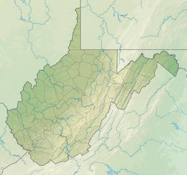
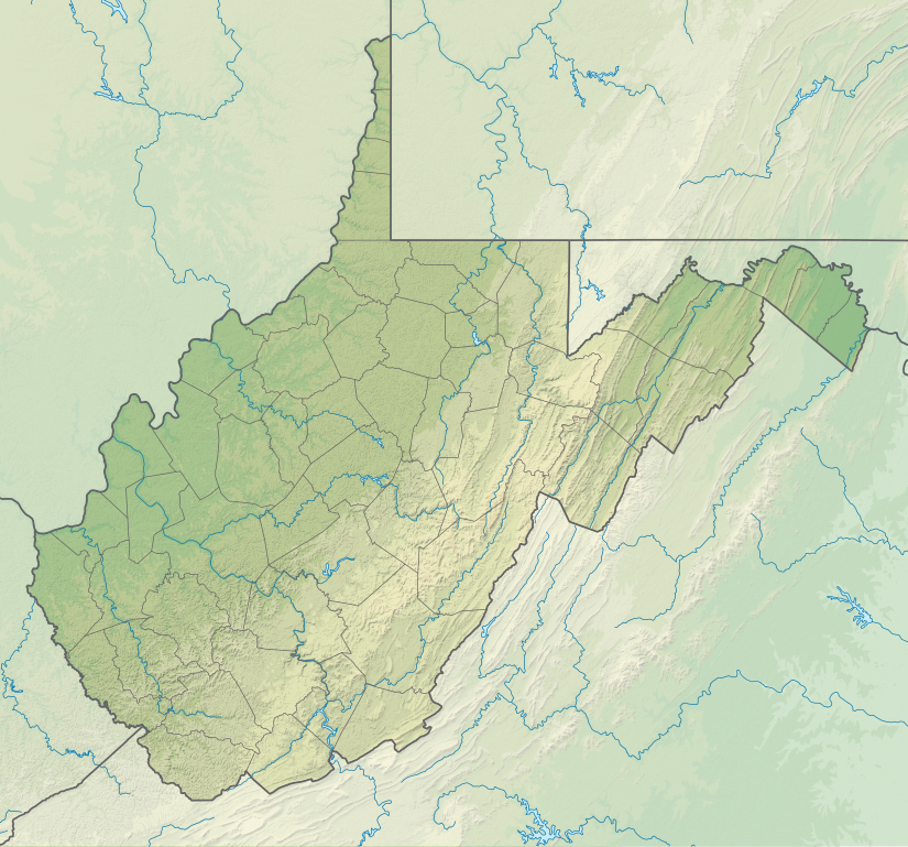
English: Relief location map of West Virginia, USA
Geographic limits of the map:
|
| Date | |
| Source |
Own work
|
| Author | ikonact |
Licensing
I, the copyright holder of this work, hereby publish it under the following license:
This file is licensed under the Creative Commons Attribution-Share Alike 4.0 International license.
- You are free:
- to share – to copy, distribute and transmit the work
- to remix – to adapt the work
- Under the following conditions:
- attribution – You must give appropriate credit, provide a link to the license, and indicate if changes were made. You may do so in any reasonable manner, but not in any way that suggests the licensor endorses you or your use.
- share alike – If you remix, transform, or build upon the material, you must distribute your contributions under the same or compatible license as the original.
File history
Click on a date/time to view the file as it appeared at that time.
| Date/Time | Thumbnail | Dimensions | User | Comment | |
|---|---|---|---|---|---|
| current | 14:18, 3 February 2022 | | 1,201 × 1,118 (5.84 MB) | Ikonact | =={{int:filedesc}}== {{Information |description={{en|1=Relief location map of {{W|West Virginia}}, {{W|USA}} Geographic limits of the map: * N: 40.8° N * S: 37.0° N * W: 82.8° W * E: 77.5° W}} |date=2022-02-03 |source={{own}} *Based on File:USA West Virginia location map.svg *Public domain SRTM3 |author=ikonact |permission= |other versions= }} =={{int:license-header}}== {{self|cc-by-sa-4.0}} Category:Location maps of West Virginia Category:Maps of West Virginia |
File usage
The following 9 pages use this file:
Global file usage
The following other wikis use this file:
- Usage on de.wiki.x.io
- Usage on en.wiki.x.io
- Charleston, West Virginia
- Huntington, West Virginia
- Martinsburg, West Virginia
- Newell, West Virginia
- Clarksburg, West Virginia
- Fairmont, West Virginia
- Bluefield, West Virginia
- Cheat Lake, West Virginia
- Morgantown, West Virginia
- Teays Valley, West Virginia
- Beckley, West Virginia
- Parkersburg, West Virginia
- Weirton, West Virginia
- Wheeling, West Virginia
- Backbone Mountain
- Dolly Sods Wilderness
- Milan Puskar Stadium
- Battle of Greenbrier River
- WesBanco Arena
- Cacapon River
- Jennings Randolph Lake
- New River Gorge National Park and Preserve
- Harpers Ferry National Historical Park
- Bald Knob (West Virginia)
- Cass Scenic Railroad State Park
- Raleigh County Memorial Airport
- Greenbrier Valley Airport
- Mid-Ohio Valley Regional Airport
- Bear Rocks Preserve
- Cranberry Glades
- Birch River (West Virginia)
- Fairfax Stone Historical Monument State Park
- Sleepy Creek
- Edwards Run Wildlife Management Area
- Fort Mill Ridge Wildlife Management Area
- Nathaniel Mountain Wildlife Management Area
- Short Mountain Wildlife Management Area
- Trout Pond
- Mount Storm Lake
- Beech Fork Lake
- Meadow Branch
- Sleepy Creek Lake
- Mill Creek Mountain
- Sleepy Creek Mountain
View more global usage of this file.