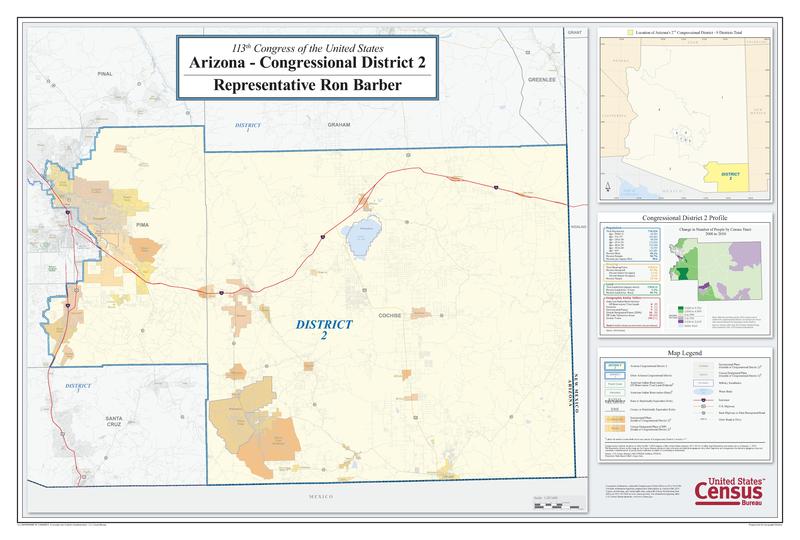
Size of this JPG preview of this PDF file: 800 × 540 pixels. Other resolutions: 320 × 216 pixels | 640 × 432 pixels | 1,024 × 691 pixels | 1,280 × 864 pixels | 2,560 × 1,728 pixels | 6,000 × 4,050 pixels.
Original file (6,000 × 4,050 pixels, file size: 3.23 MB, MIME type: application/pdf)
File history
Click on a date/time to view the file as it appeared at that time.
| Date/Time | Thumbnail | Dimensions | User | Comment | |
|---|---|---|---|---|---|
| current | 19:26, 21 May 2014 |  | 6,000 × 4,050 (3.23 MB) | Jarrad24k | User created page with UploadWizard |
File usage
The following page uses this file:
